
The Golden Era of Space Exploration: Inside NASA and ISRO's Joint NISAR Mission Unlocking Earth's Hidden Signals
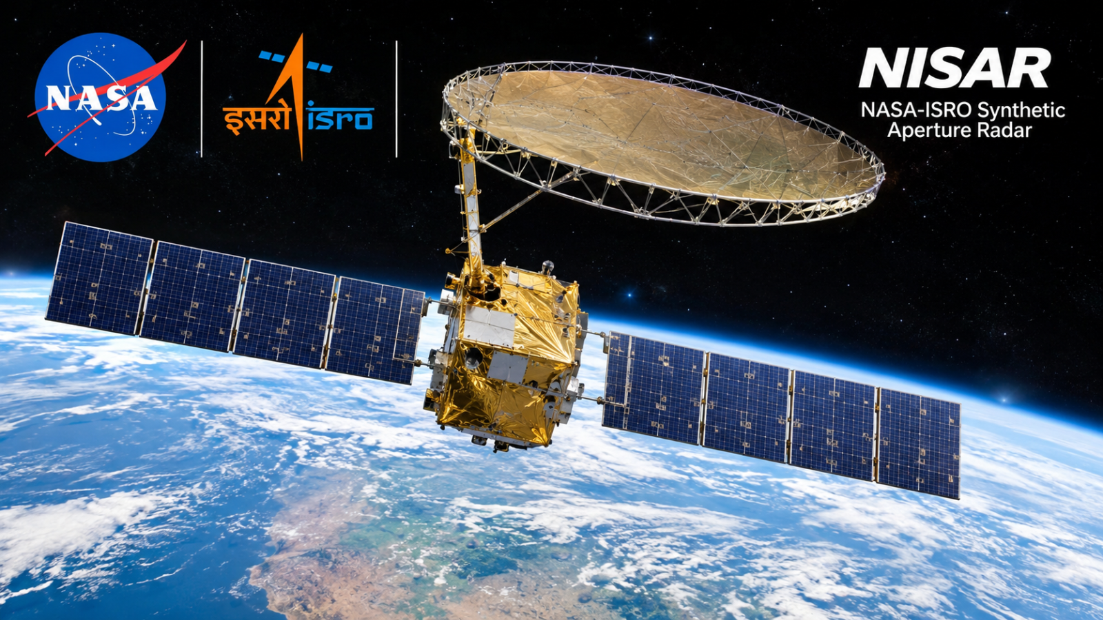
In one of the most collaborative chapters in modern space exploration, the joint radar observatory mission between NASA and the Indian Space Research Organisation (ISRO)—known as NISAR (NASA-ISRO Synthetic Aperture Radar)—has ushered in a transformative era for global Earth observation. By pairing dual-band radar instrumentation aboard a single orbital platform, the international mission provides continuous, high-definition tracking of planet-wide surface transformations regardless of cloud cover, weather interference, or nightfall.
The mission stands as a critical milestone for orbital engineering and open-access climate telemetry, offering researchers and civil defense planners real-time insight into tectonic fault lines, polar glacier dynamics, and agricultural changes across every continent.
Dual-Frequency Radar: How NISAR Bypasses Atmospheric Limitations
Standard optical earth-observation satellites depend heavily on sunlight and clear atmospheric windows to capture surface changes. NISAR overcomes these limitations using an innovative dual-frequency Synthetic Aperture Radar setup combining L-band and S-band microwave frequencies.
The dual architecture provides complementary mapping capabilities:
- L-Band Radar (Provided by NASA): Operates at a longer 24-centimeter wavelength capable of penetrating dense forest canopies, thick cloud decks, and topsoil layers to track beneath-the-surface shifts and root-zone water tables.
- S-Band Radar (Provided by ISRO): Utilizes a 9-centimeter wavelength optimized for tracking crop health, shoreline shifts, and light surface roughness.
- Global Sweep Cadence: The observatory completes full planetary surface scans every 12 days, yielding high-frequency differential maps that highlight ground deformation at sub-centimeter accuracy.
Transforming Disaster Management and Seismology
The most immediate practical value of the NISAR framework lies in early disaster response and tectonic risk mapping. Because the radar instruments detect minute surface movements, geological agencies can assess ground shifts along major fault zones before and after major seismic incidents.
| Scientific Domain | Operational Data Contribution |
|---|---|
| Seismic & Volcanic Monitoring | Identifies subtle surface bulges around magma chambers and crustal strain accumulation along continental plates. |
| Cryosphere Tracking | Measures ice-flow velocities of Greenland and Antarctic ice shelves to refine sea-level rise projections. |
| Hydrology & Water Security | Tracks regional groundwater depletion by calculating microscopic ground subsidence across heavily irrigated agricultural zones. |
| Ecosystem Health | Quantifies global forest biomass variations, helping verify international carbon offset initiatives. |
A Model for International Space Diplomacy
Beyond its raw scientific output, the NISAR project represents an adaptable template for multinational space collaboration. By dividing fabrication, payload integration, and launch operations across international agencies, both nations cut operational costs while ensuring data collected by the satellite remains openly available to scientists and civic authorities worldwide.
As the mission delivers routine global radar streams, it cements space technology's essential role not just in exploring distant stars, but in securing practical data to safeguard infrastructure, resources, and ecosystems on our own planet.
Related articles